FEMA Director Calls for Modeling as Flood Maps Fall Short
Models will be needed to anticipate the changing dynamics of flood events, but first the government needs to figure out how to pay for it.
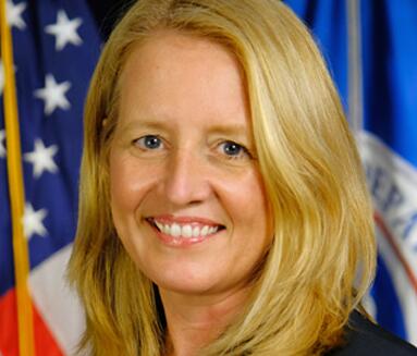
Federal Emergency Managment Administration (FEMA) Director Deanne Criswell said that the federal government needs to work with states and municipalities to tap into reliable flood modeling capabilities as existing flood maps fall short in a period of rapid climate change.
In a discussion on Sunday’s “State of the Union” program on CNN, Criswell said that the recent inundating storms and resulting floods in the Southeast, and the follow on water crisis in Jackson, Mississippi, could not be anticipated using FEMA’s current set of mapping tools.
“It’s hard to predict when we are going to see rain events like that and the status of the infrastructure that would be able to support that,” Criswell said. “We are going to continue to work with jurisdictions to help them to identify what their needs are and help them create better predictive models. We have to start thinking about what then threats will be in the future as a result of climate change. “
A key part of FEMA Risk Rating 2.0 effort to bring up flood insurance policies to actuarily sound rates is incorporating third-party, commercially-available catastrophe flood models and replacement cost data.
Criswell added that the solution to implementing any modeling solution must start with better maps.
“I think the part that’s really difficult right now is the fact that our flood maps don’t take into account excessive rain that comes in,” Criswell explained. “And we are seeing these record rainfalls that are happening.”
While technically challenging, the biggest hurdle to upgrading and expanding the nation’s flood maps may be the cost and, more importantly politically, how to pay for the upgrade.
Only a third of the US territory currently falls under US flood maps, with FEMA spending approximately $2.3 billion to maintain over the past five years, according to a report by the United States Government Accountability Office (GAO).
Mapping the entire US would far more expensive, with a report by the Association of State Floodplain Managers saying that the cost to completely map the US for flood risk would range between $3.2 billion to $11.8 billion. The price to consistently update the maps would rang from $107 million to $480 million annually, according to the same report.
But first, in order to fund a massive flood mapping and modeling initiative the US would also need to rework how if funds flood mapping.
Currently, flood mapping is funded through annual discretionary appropriations by Congress was well as funds that are offset by Federal Policy Fee (FPF) attached for new flood policies.
But, as a recent Congressional Budge Office (CBO) report points out, as Risk Rating 2.0 is implemented and theoretically pushes more people out into the private market revenue from the FPF will plummet and cut funding to maintain even the current flood mapping.
Risk Market News Newsletter
Join the newsletter to receive the latest updates in your inbox.


