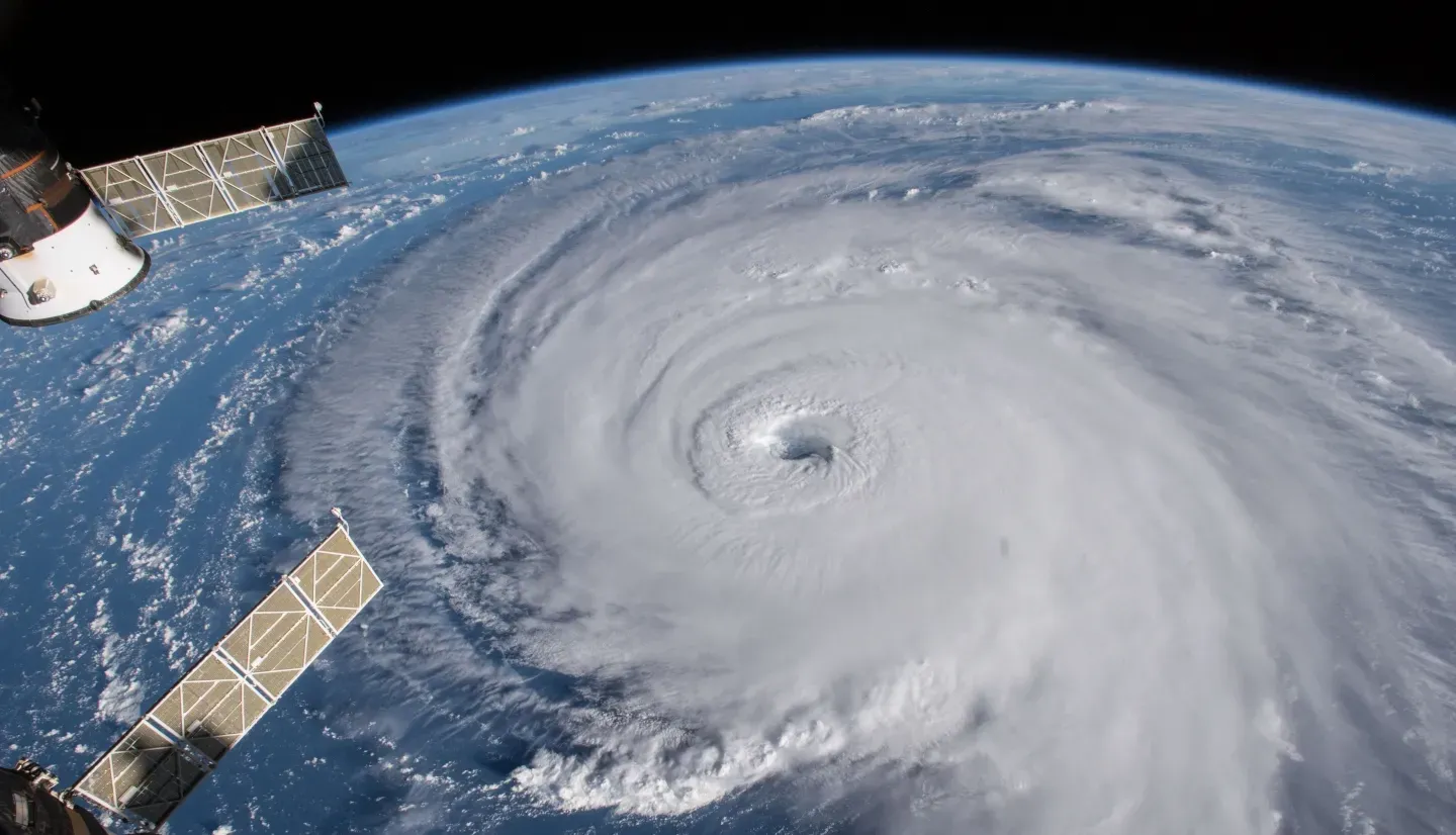
Today, we're highlighting some eye-opening changes to the closely watched CSU hurricane forecast.
For RMN members and paid subscribers, we have:
Florida Certifies RMS, KCC Hurricane Models Amid Oversight Uncertainty
As new hurricane models gain approval in Florida, uncertainty looms over the future of the commission that oversees them.
Private Market Alone May Not Be Enough For Cyber Catastrophe: Rand
Cyber risks present model and prediction challenges, forcing discussion of a government backstop.
Insurers Say Outdated Rules Are Fueling State Market Crises and Modeling Gridlock
As climate risks rise and litigation surges, insurers warn that outdated regulations are blocking the very modeling tools they need to stay solvent.

CSU's Growing Confidence in a Hyperactive Hurricane Season
Despite no changes to its April forecast, Colorado State University’s (CSU) June 2025 hurricane outlook issued last week said their is growing confidence in an active North Atlantic hurricane season.
CSU’s updated forecast calls for 17 named storms, 9 hurricanes, and 4 major hurricanes (Category 3 or higher), all well above the 1991–2020 averages. The report keeps the Accumulated Cyclone Energy (ACE) index at 155 and net tropical cyclone activity at 165% of normal, emphasizing that the overall risk profile remains “firmly in elevated territory.”
Model Convergence Signals Confidence
One of the most significant signals from the June update is a clear consensus across multiple forecast models. All four global statistical/dynamical models used—ECMWF, UK Met Office, JMA, and CMCC—point to a hyperactive season, with ACE predictions ranging from 161 to 195.
“Having such robust agreement among the major modeling systems is uncommon,” said CSU’s lead forecaster Dr. Philip Klotzbach. “That unanimity gives us greater confidence in the above-average forecast for the season.”
Landfall Risk Elevated for U.S. and Caribbean
While the raw storm counts remain unchanged from April, the June report reiterates elevated strike probabilities:
- A 51% chance of a major hurricane making landfall along the U.S. coastline (vs. a 43% historical average)
- A 56% chance of one passing through the Caribbean (vs. 47% average)
- A 33% chance for the Gulf Coast, and 26% for the U.S. East Coast including the Florida Peninsula
For reinsurers and primary carriers with exposure in Florida and the Gulf, the regional landfall breakdown could call for an updated portfolio stress testing.
CSU’s explicit forecast for ACE west of 60°W—where most insured coastal exposures lie—holds at 93, significantly above the long-term average of 73. Historical correlations show this western ACE metric more tightly tracks U.S. landfall activity than basin wide ACE, offering a more targeted lens for risk assessment.
Key Drivers: ENSO Neutral and Atlantic Warmth
The June update reinforces expectations for ENSO-neutral conditions throughout the season, which typically do not suppress storm development the way El Niño events do, the researchers say. Simultaneously, the report says that sea surface temperatures across the eastern and central Atlantic remain above average—though slightly cooler than 2024—creating favorable thermodynamic conditions for cyclone formation and intensification.
Two main statistical predictors—May SST anomalies in the eastern Atlantic and low-level zonal winds in the central Pacific—continue to signal elevated hurricane activity.
Notably, both predictors were measured more than one standard deviation beyond neutral in directions associated with active seasons.
“These predictors don’t operate in isolation,” the CSU report notes. “Together they reinforce conditions that reduce vertical wind shear, a key inhibiting factor in storm formation.”
The next update from CSU is expected in early July.


